Tyler Geography and Terrain
 |
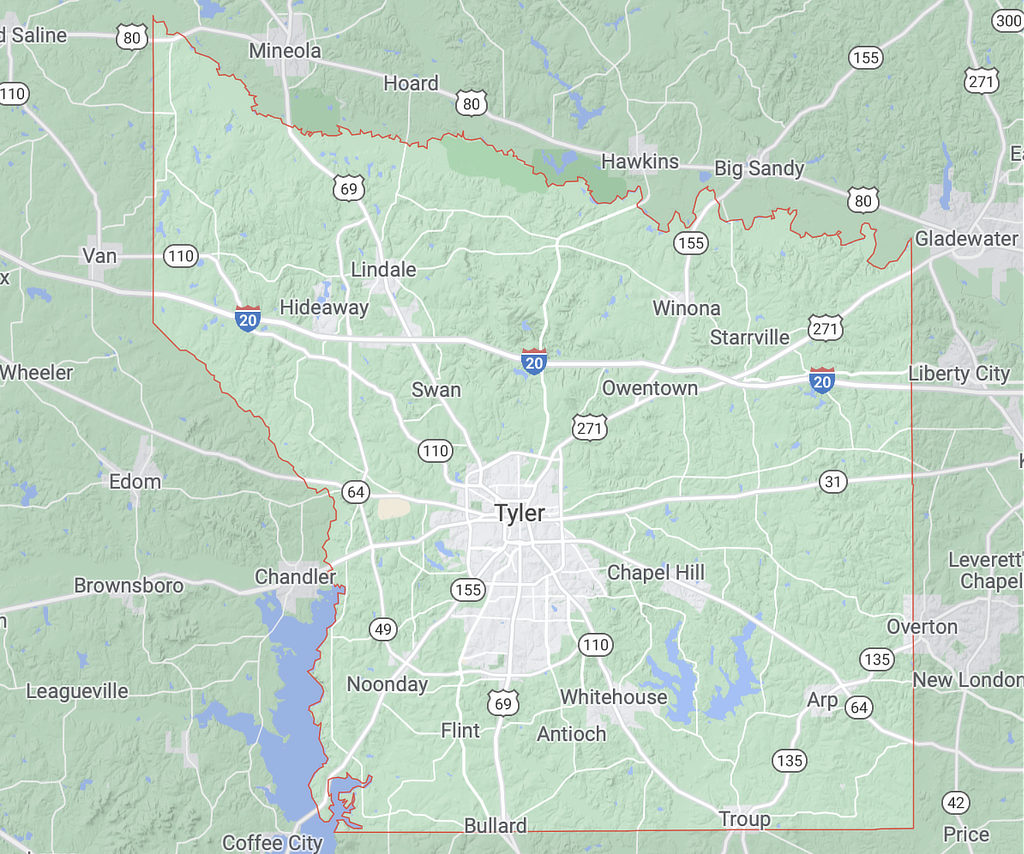
Tyler is located in the geographical area of East Texas known as the "Piney Woods", about half-way between Dallas and Shreveport, and just south of the Interstate I-20 corridor.
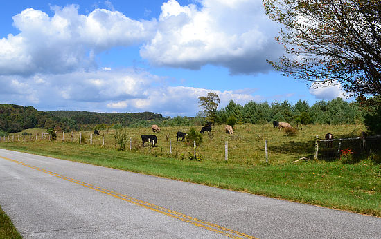
Tyler, the county seat of Smith County, occupies an area of about 54 square-miles, and is at an official altitude of 544 feet (165 meters) above sea level. The terrain surrounding Tyler is mostly forested, gently rolling hills, dotted with ranches, lakes, and pastures.
Smith County
Smith County covers over 932 square miles of the East Texas Timberlands region, with two-thirds of this environment covered in post oak, blackjack oak, and tall grasses, and one-third heavily forested with pine and hardwoods. Land covers 97% of the county, water 3%. The county elevation ranges from 275 to 671 feet.
The County is fifty-eight miles from the eastern Texas boundary with Louisiana. It is bordered by the Neches River and Henderson and Van Zandt counties on the west, Cherokee County on the south, Rusk and Upshur counties on the east, and the Sabine River and Upshur and Wood counties on the north.
The largest bodies of water are Lake Palestine, on the southwestern border of the county, and Lake Tyler in the southeastern area.
The soil varies from sandy prairie loams in the northwest and east, to loam-covered clay through the remainder of the county between Whitehouse and Arp.
Mineral resources include petroleum, natural gas, iron ore, clay, limestone, lignite, and salt. Less than 10% of Smith County is prime farm land.
 |
Intractive Map of Tyler Texas (Courtesy of Google Maps)
Tyler & Smith County Mapping Resources
-
Smith County Appraisal District (SCAD) Interactive Mapping System
- AnyPlaceAmerica.com - Free printable Smith County, TX topographic maps, GPS coordinates, photos, & more for popular landmarks in Smith County including Tyler, Whitehouse, and Lindale

